Turn your Data into Visual Insight
PostGIS


The full power of PostGIS at your finger tips. Turn your PostGIS data into stunning, meaningful visualizations via drop-and-drag or via SQL
Format every aspect of your map. Create re-usable data layers and add a wide array of controls for end users.
- PostGIS Support
- Drag-and-Drop
- SQL
- Format and Controls
Maps provide immediate visual insights into your data. Developed by MapFig, Inc and AcuGIS, the PlexBI GIS tool set is intuitive, powerful, and unique.
SQL (or Not)


Turn SQL into maps from any data source containing location data.
Maps can be built via SQL, drop-and-drag, as well as free hand. Add Graph overlays to your maps to provide visualizations with depth. All aspects of your maps can be formatted.
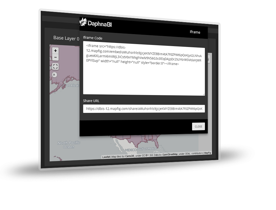
Maps can be exported as well as shared via secure link or embedded in web applications.
CSV


Schedule, Email, and export your maps in PDF, PNG, JPG and more.
Maps can also be shared securely as well as embedded in web applications using copy-and-past code.
Free Hand Maps


PlexBI provides user with the ability to create maps using only a mouse. Maps can even be created "free hand" as well. Add markers, lines, and polygons, as well as overlays and a wide range of options.
Modeled on our petiole map studio, free hand map creation allows you to craft you map exactly as you want it.
PlexBI also allows users to create re-usable SQL layers to add to maps along with setting all aspects of map layout.
PlexBI Maps work with any map provider (Google, MapBox, OSM, BING, etc..) and users also have access to MapFig base maps.


